About Us
Real world solutions delivered faster, safer and accurately, backed by real engineering and survey experience.
LiDAR Services
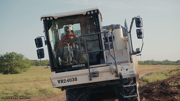
High-accuracy aerial LiDAR mapping for land development, construction, and infrastructure projects. Using advanced laser scanning technology, we capture millions of data points to create detailed topographic surfaces, contours, and point clouds. This allows clients to better understand existing site conditions and make informed decisions for planning, design, and construction. Reduces field time by 50-70%.


Drone Services
Professional drone solutions for mapping, inspections, progress tracking, marketing visuals, and site documentation. Drone technology provides a fast, safe, and efficient way to capture aerial data without the time and cost of traditional methods. Whether you need project updates, site imagery, or detailed mapping, we provide clear results that help move projects forward.
3D Modeling
We create accurate 3D models of terrain, buildings, and project sites to help clients visualize conditions before work begins. These models are useful for planning, presentations, design coordination, and identifying potential issues early. A clear 3D view of your project can improve communication and reduce costly surprises. Import right into your receivers and see the model out in the field.


Volumetric Measurements
Precise stockpile, excavation, and earthwork volume calculations using drone and LiDAR data. We provide accurate measurements for materials, cut and fill quantities, and site production tracking. This helps contractors, developers, and project managers reduce guesswork, improve estimating, and better manage project costs.
Vegetation and Forest analysis
Advanced aerial mapping for vegetation analysis, tree canopy assessment, land management, and environmental planning. LiDAR technology can collect data through vegetation to reveal ground elevations and terrain beneath tree cover. This is valuable for forestry operations, drainage studies, site planning, and large tract evaluations.


Utilities, Corridor and ROW mapping
Detailed mapping solutions for utilities, solar, corridors, pipelines, roadways, and rights of way. We capture terrain, surrounding features, vegetation encroachment, and access conditions to support planning, maintenance, and expansion projects. Our data helps utility providers and contractors make better decisions while improving efficiency in the field.
Marketing Videography
Professional aerial and ground-based video content designed to showcase your business, project, property, or brand in a powerful and engaging way. We create high quality marketing videos that capture attention, build credibility, and help you stand out from the competition. Whether promoting a commercial property, construction project, event, or local business, our videos are built to help you attract clients and grow your presence online.